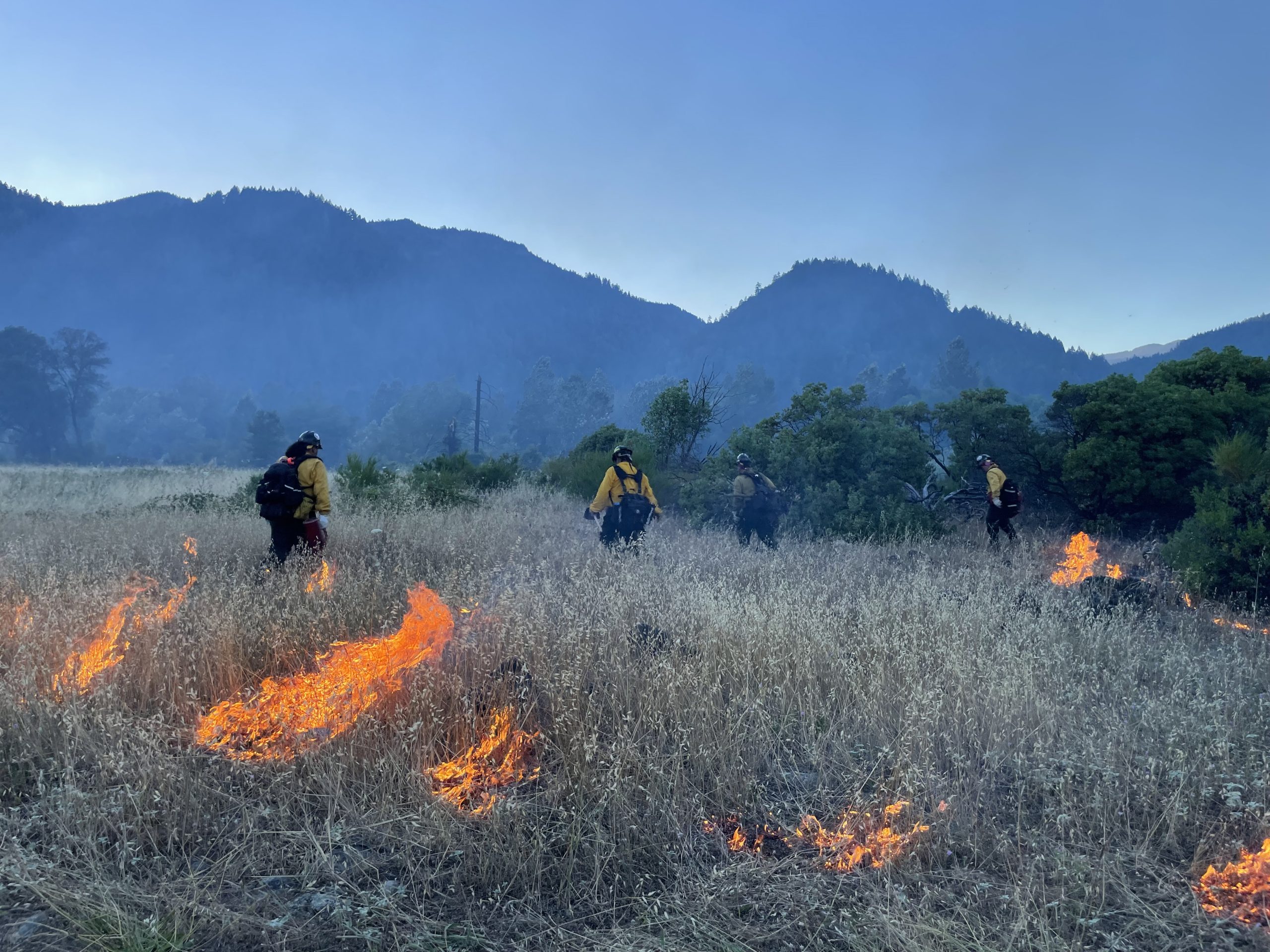
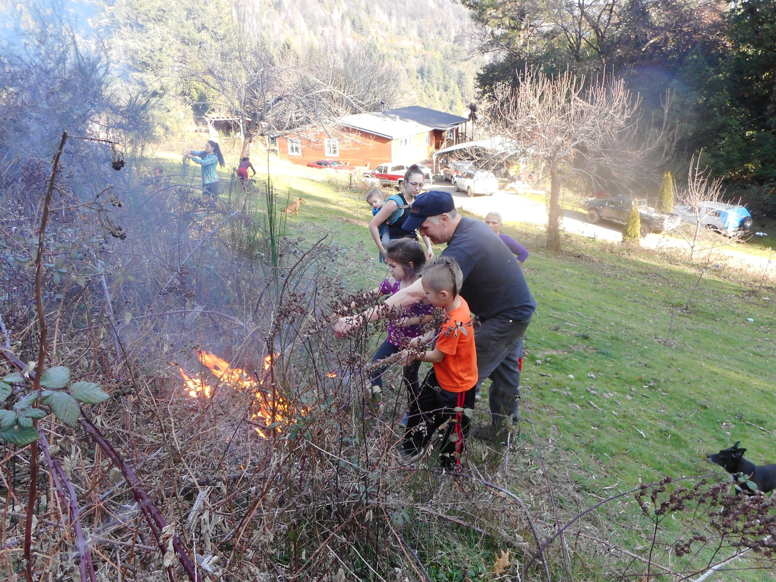
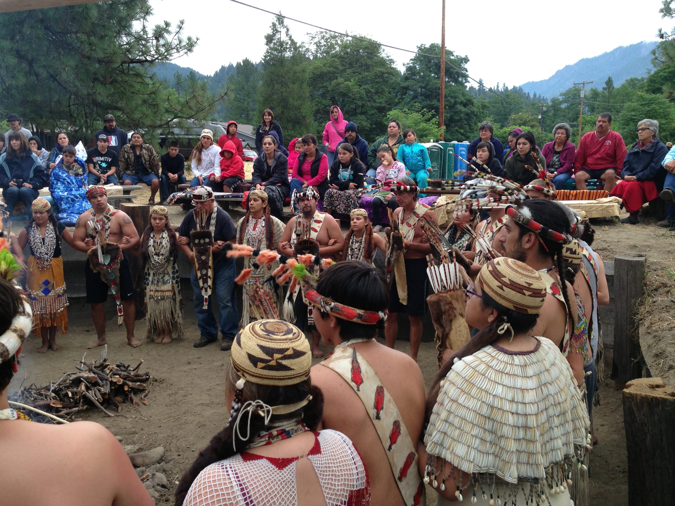
The Native people of Hoopa Valley understood and used the natural cycle of burning. Cultural burning for clearing areas for crops, basketry material (hazel and beargrass), and hunting has been done for thousands of years in the region. According to tribal elders, traditional and naturally occurring fires were used to “cleanse” the land and were allowed to burn naturally without suppression. This resulted in fuel-load reduction and decreases in fire severity and intensity.
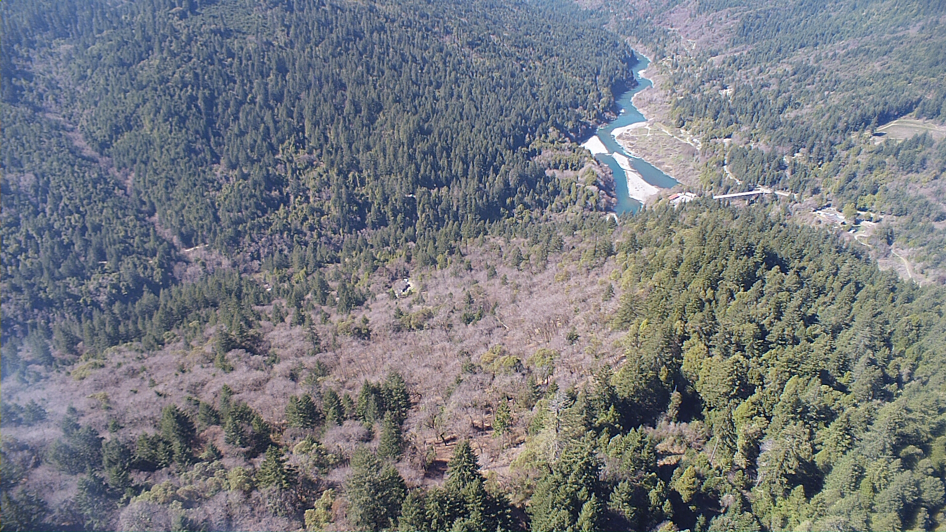
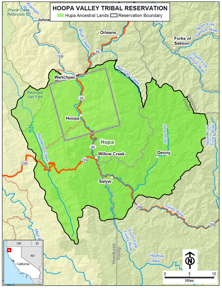
The Hoopa Valley Indian Reservation (HVIR) is located in the northeastern portion of Humboldt County, California. It is located 65 miles east of Eureka, 120 miles west of Redding and 300 miles north of San Francisco. The HVIR is roughly square in shape with sides approximately 12 miles long and encompasses an area of over 92,000 acres covering approximately 50% of the Hupa Aboriginal territory.

